Search Free Consultation Konsultasi Gratis
PORTOFOLIO KAMIOUR PORTFOLIO

Portofolio GIS & WebGIS: Studi KasusGIS & WebGIS Portfolio: Case Studies

Sistem informasi geografis, geoportal, dan Digital Twin yang telah kami kembangkan untuk desa, instansi, dan perusahaan β€” bukti kemampuan kami mengolah data menjadi sistem yang dipakai sehari-hari.Geographic information systems, geoportals, and Digital Twins we have built for villages, agencies, and companies β€” proof that we can turn data into systems used every day.

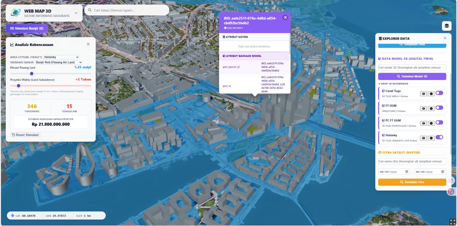
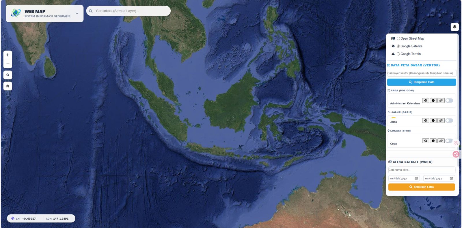
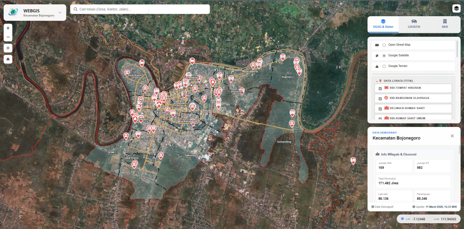
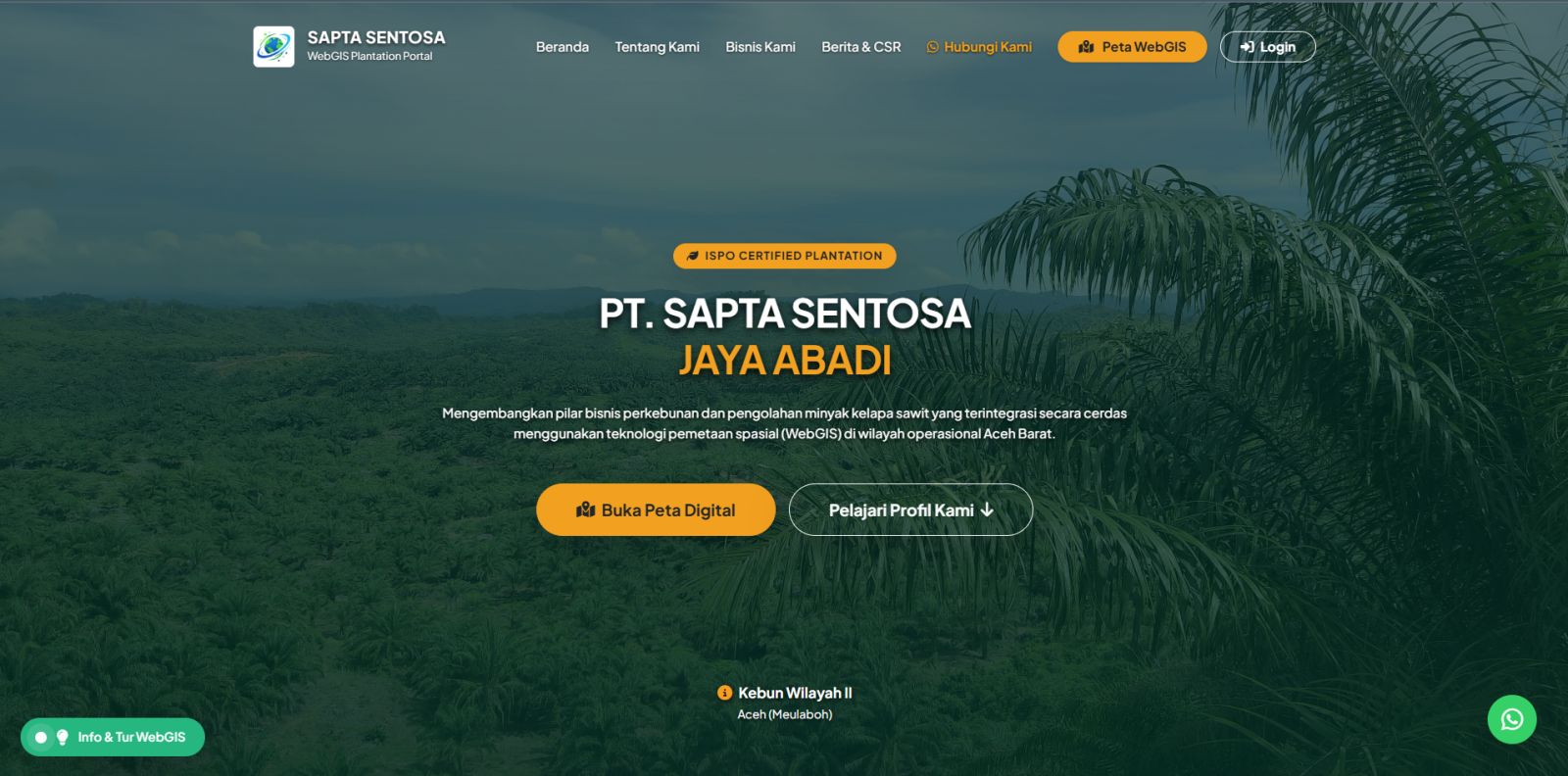
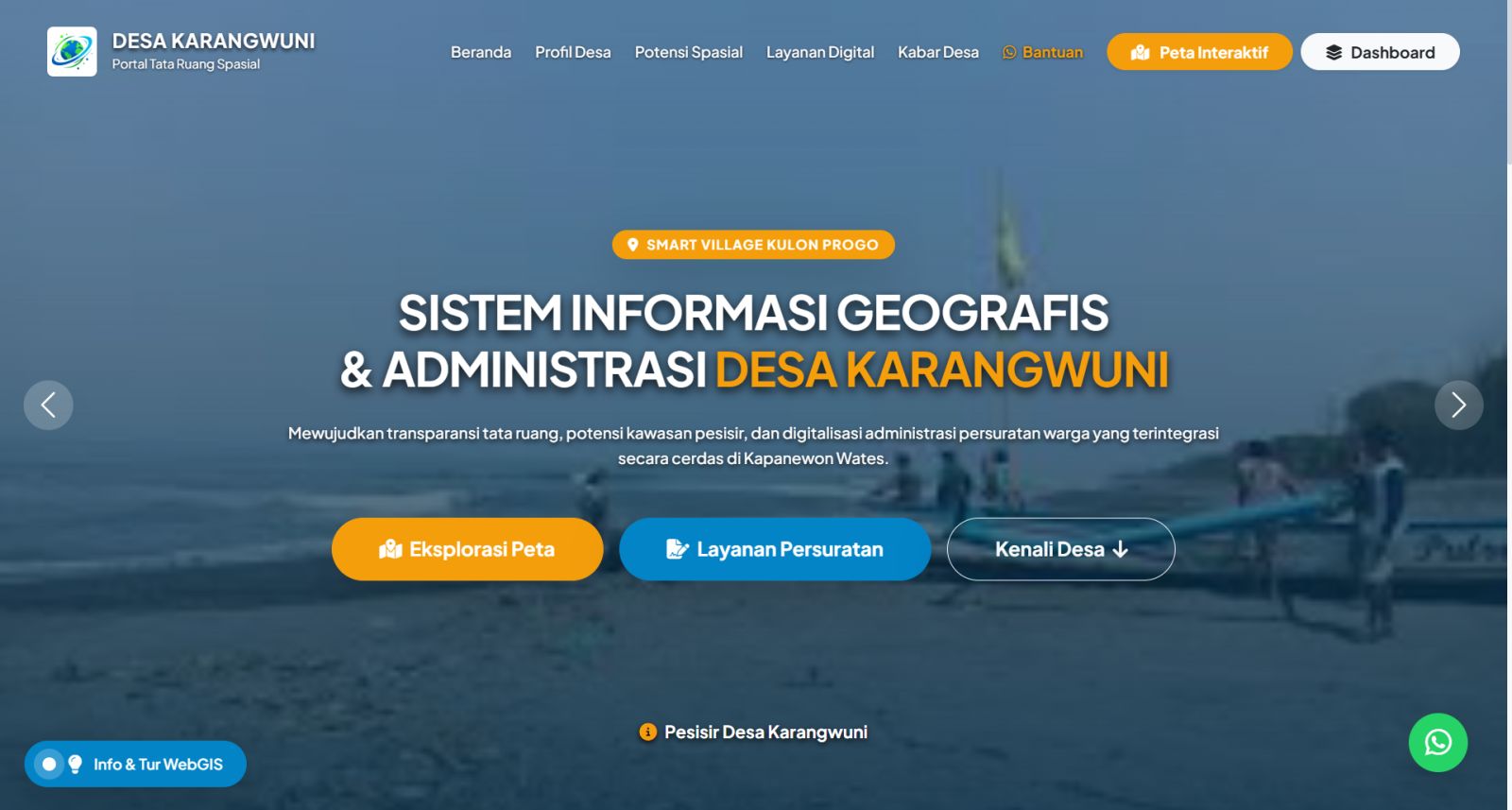
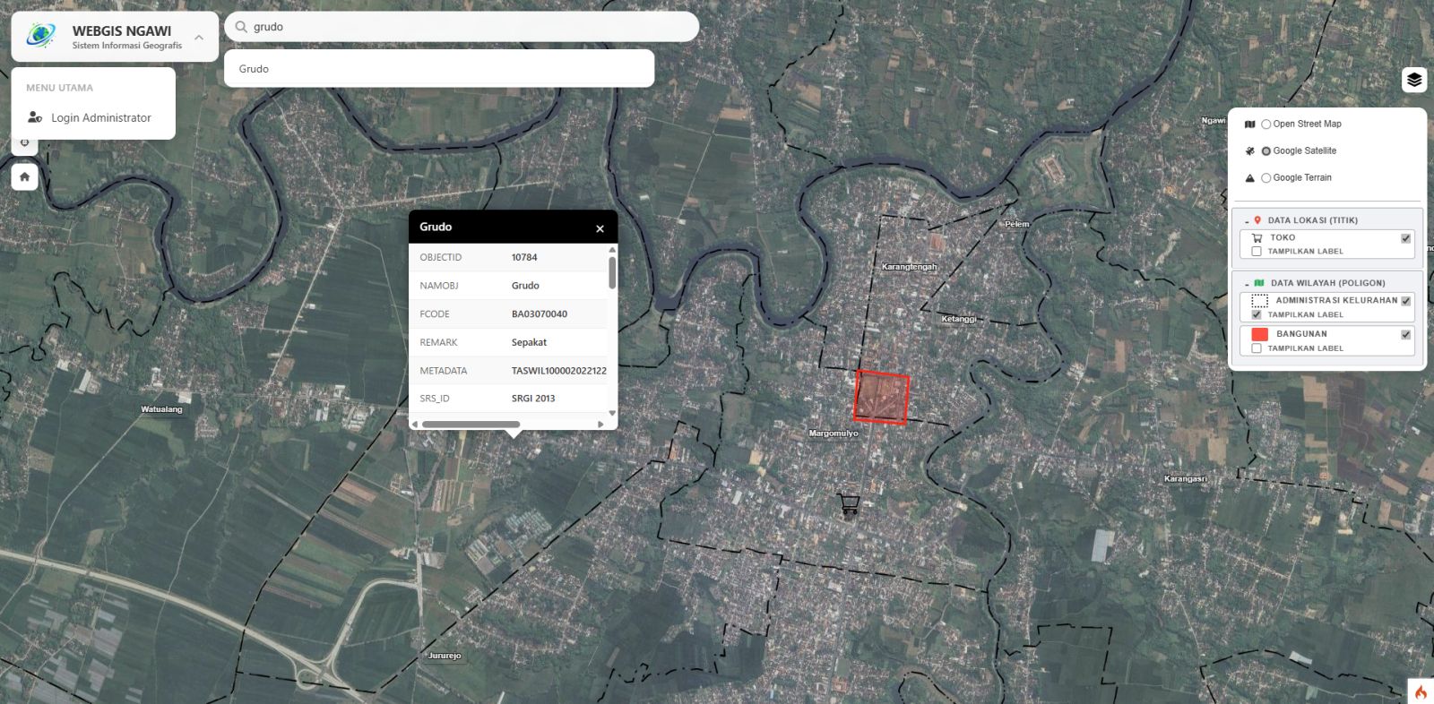
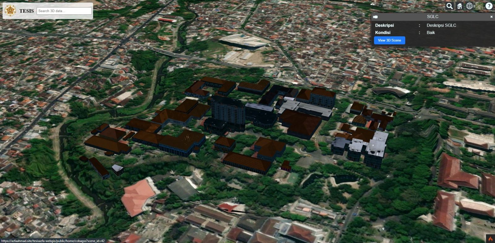
This page collects 9 GIS and WebGIS case studies built by PT Geo Anfa Spasial (GeoGap) β€” from lightweight interactive maps for village governments to OGC-standard geoportals and 3D Digital Twin City platforms. Each case study documents the context, the system we built, its key features, and its impact.

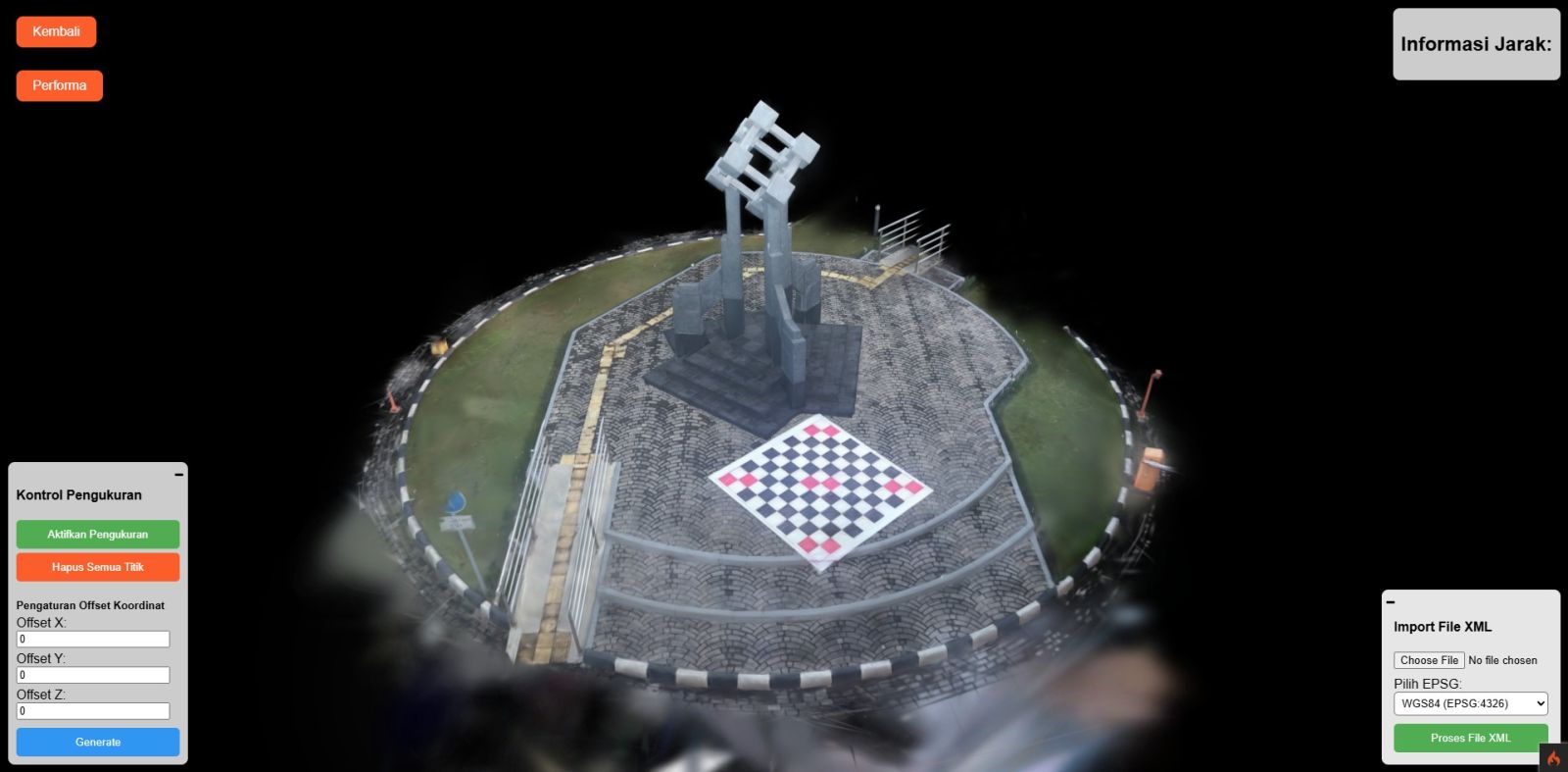
Our portfolio spans 2D WebGIS (Leaflet.js, PostGIS, Laravel), OGC geoportals (GeoServer with WMS, WFS, and WMTS), 3D WebGIS (CesiumJS, 3D Tiles, CityGML/CityJSON), and 3D Gaussian Splatting β€” a method we published in the GEOID journal (ITS). Sectors covered include village and sub-district government, land administration, plantations, road infrastructure, and heritage documentation.

Looking for something similar for your organisation? Open any case study below, or see our WebGIS development services.

FREE CONSULTATION & ESTIMATE KONSULTASI & ESTIMASI GRATIS

Got a
Geospatial Job?
Punya Pekerjaan
Geospasial?

Analysis, data processing, satellite imagery, surveys, WebGIS, or a full project β€” tell us what you need and we reply with a proposed method, timeline, and cost. Analisis, olah data, citra satelit, survei, WebGIS, atau satu proyek penuh β€” ceritakan kebutuhan Anda, kami balas dengan usulan metode, waktu, dan biaya.

Or Fill In This Short Form Atau Isi Form Singkat Ini

EN ID